Geophysical Imaging of the Queen Charlotte Fault
Marine Geophysical Survey of the Queen Charlotte fault
This project will use a combination of geophysical tools and earthquake monitoring equipment to explore the fast-slipping plate boundary fault that extends along the West Coast of British Columbia and Southeast Alaska. This science will be facilitated by data collected using cutting edge marine seismic equipment deployed in the summer of 2021 by two ships and science teams working in concert.
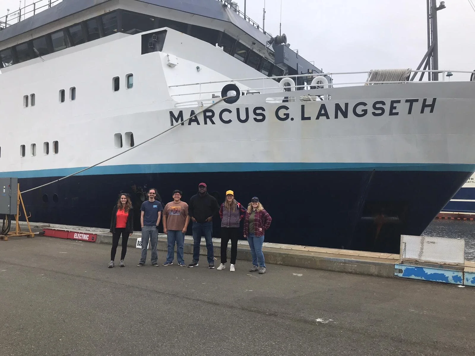
Here is the Science Party about to depart on the R/V Marcus G. Langseth.
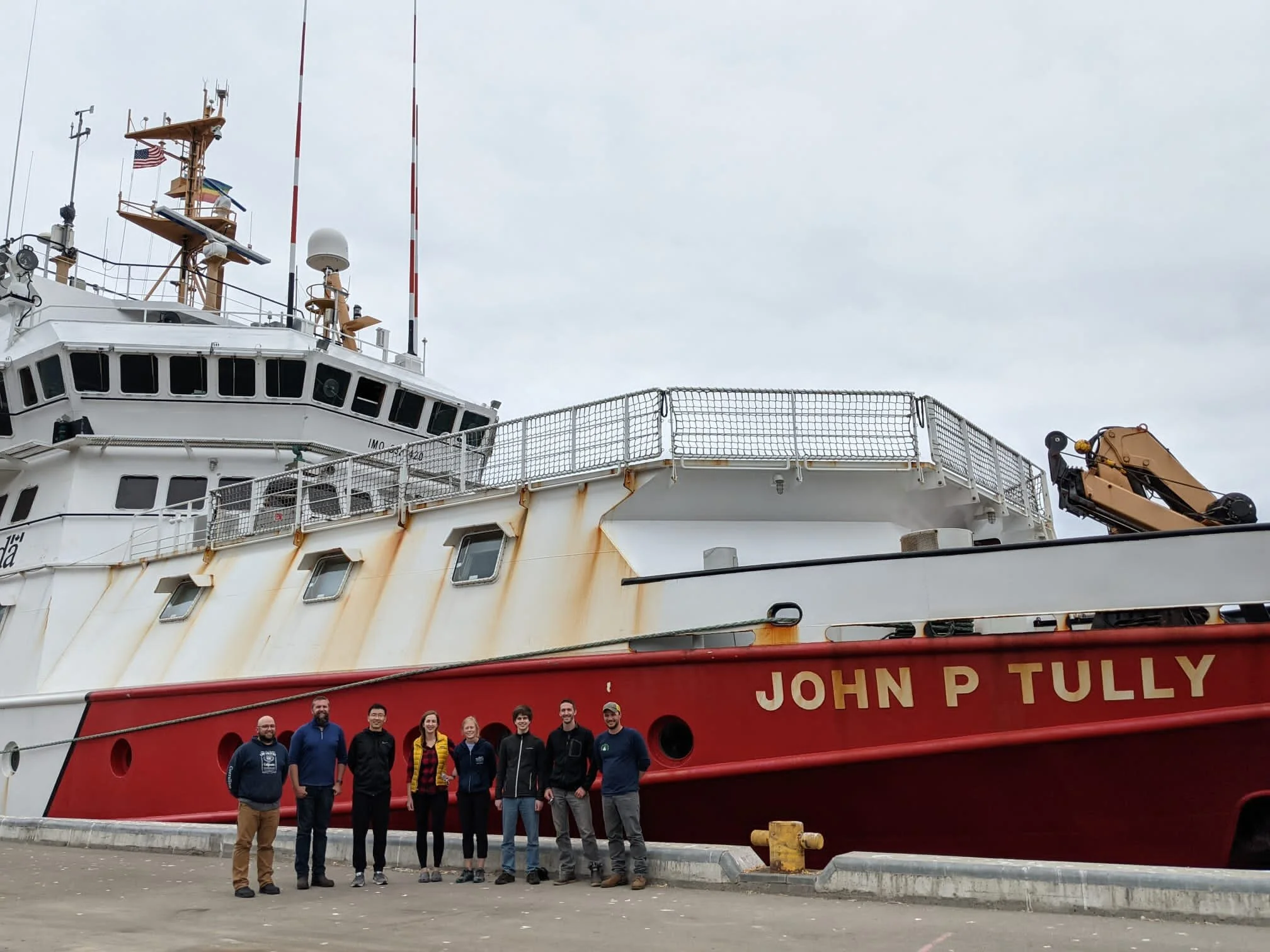
Science party about to depart on the John P. Tully for our study area, off shore British Columbia and SE Alaska.
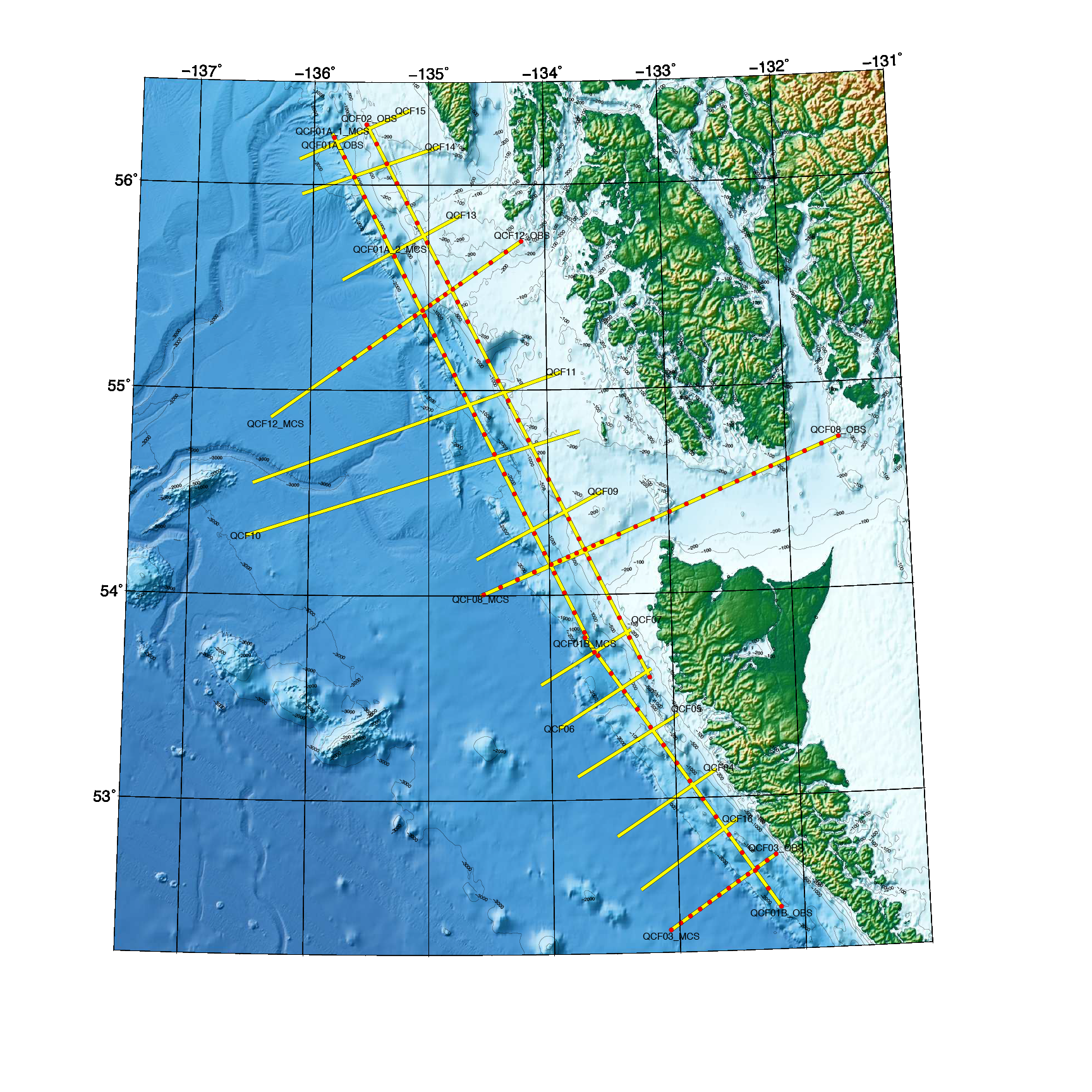
Approximate planned acquisition for summer 2021. Yellow lines are multi-channel seismic reflection data, red circles are temporary OBS deployments.


